|
| *****SWAAG_ID***** | 38 |
| Date Entered | 10/01/2011 |
| Updated on | 10/01/2011 |
| Recorded by | Stephen Eastmead (admin) |
| Category | Vernacular Record |
| Record Type | General HER |
| Site Access | Public Footpath |
| Record Date | 16/08/2010 |
| Location | South of Cuckoo Hill, Reeth |
| Civil Parish | Reeth |
| Brit. National Grid | NZ 04039 00053 |
| Record Name | Possible tramway |
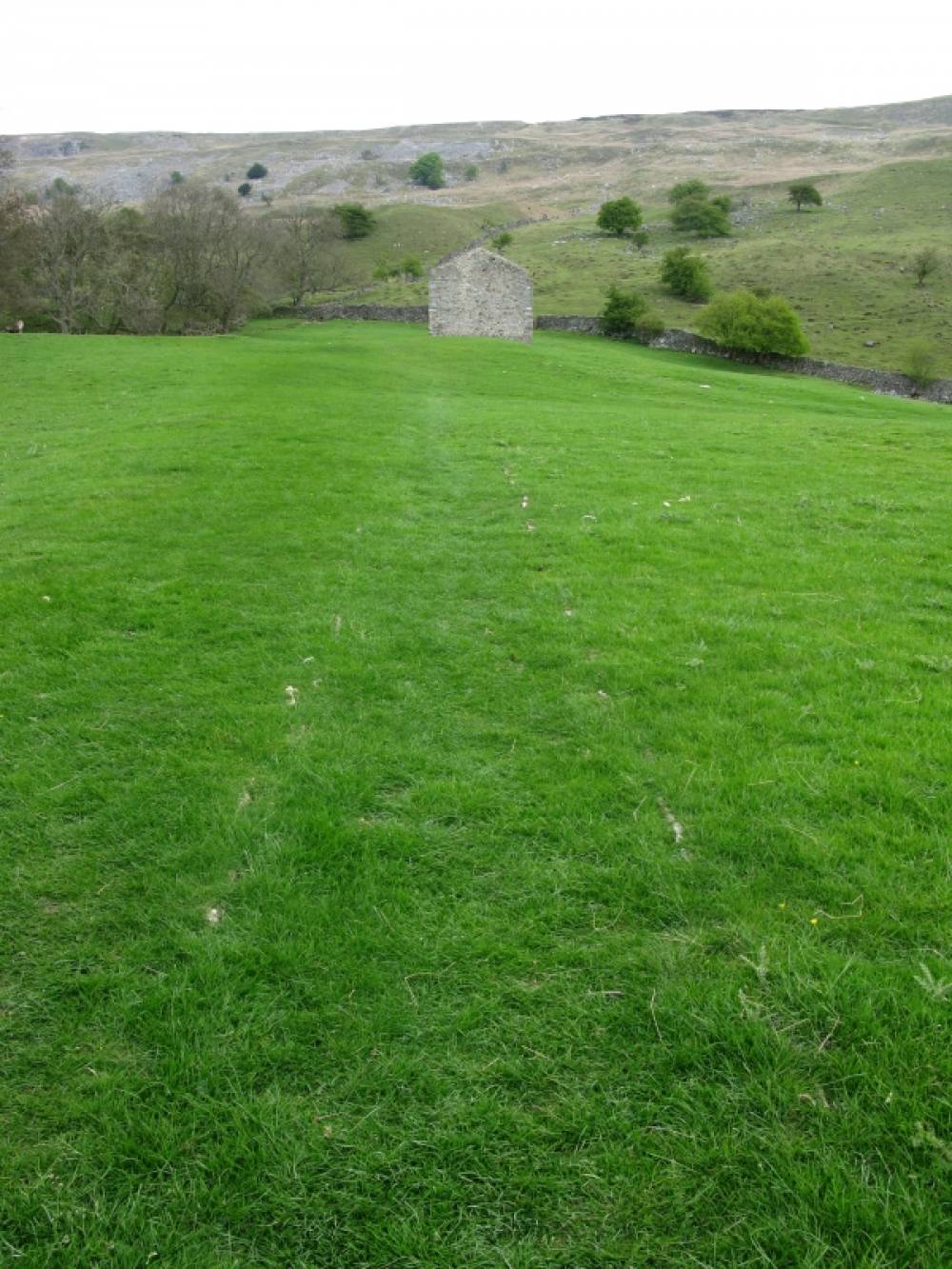
| Record Description | Photo showing line of a possible old tramway or track not normally visible due to vegetative growth, South of Cuckoo Hill, Reeth on public footpath. The 1910 OS map identifies the field as No. 485 although it does not shown the tramway or track itself.
If anyone has any further information please use contact form on swaag.org
|
| Dimensions | The distance between the kerbs: 47 inches or 120cm |
| Additional Notes | Record submitted by Ric Carter |
| Image 1 ID | 54 Click image to enlarge |
| Image 1 Description | Tramway in grass |  |
| Image 2 ID | 55 Click image to enlarge |
| Image 2 Description | Google Earth image | 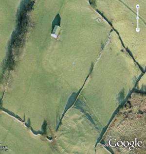 |